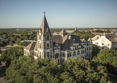
Mansfield Dam, Lake Travis, TX Matt Trub, Aerial Photographer
AERIAL PHOTOGRAPHY
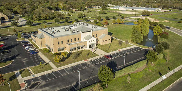
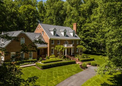
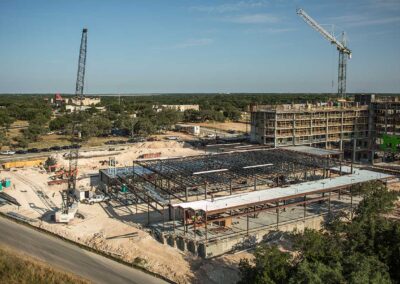
With a professional aerial photography drone, dynamic aerial photos of your property or business will produce the impact you are looking for. Our drone photographer produces high quality, custom aerial drone photography for the commercial real estate market, construction progress, Civil Engineering, and farm and ranching. Aerial drone photography of your property will generate more interest and quicker sales.

Richard Trub UAV pilot, Matt Trub Aerial Photographer
Aerial Imagery and Drone Photography Uses:
- Architectural
- Construction Progress
- Energy
- Real Estate
- Farming & Ranching
- Oblique and Vertical Aerial Imagery
- Planning Issues & Boundary Disputes
- Civil Engineering & Construction
- Environmental Consultants
- Flood Mapping
- Renewable Energy
- 3D Modeling
- Education & Academic Studies
- Land Surveying
- Commercial, Residential &
- Industrial Photography
- Marketing & Media Online,
- Brochure, Magazine, Corporate Material
Standard Package Includes:
- 25-30 high resolution 21.1-megapixel digital images
- Backup images on a CD
- All images Copyright released
- Images stored
- Computer graphics can be added at $45 per hour.
- This could include roads, schools, labels, property boundaries and other points of interest.


