Utility Lines Utah Matt Trub, Aerial Cinematographer
Aerial Survey & Mapping
HDaerial Offers High Definition
Aerial Survey & Mapping.
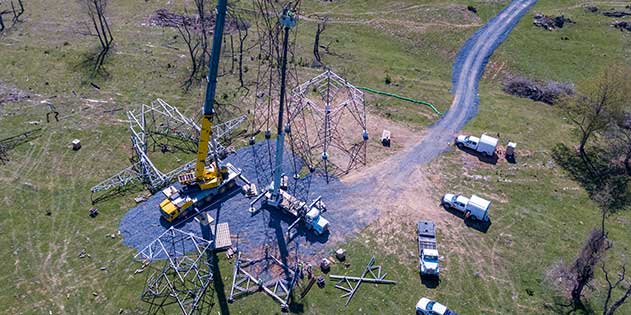
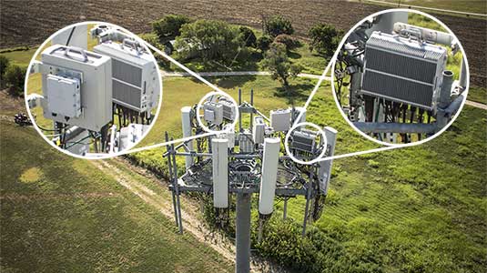
Our system is an ArcGIS extension that provides geospatial random access to digital video through the ArcMap interface. We can provide aerial survey & mapping with Geo-code images with GPS data embedded in the data fields of high resolution images. These Geo-coded high definition videos (1920 x 1080p or up to 6K) are powerful tools for utility and pipeline surveying. HDaerial offers aerial survey & mapping with geo-referenced pipeline and transmission line surveys. We can deliver real-time data overlays on HD video with GPS coordinates, date and time stamps, and altitude/ground speed/heading information. Video frame grabs can be used from aerial survey & mapping for detailed inspection. The Cineflex systems can simultaneously record high-resolution 1080p HD and 6K video. We can export 19 megapixel frame. Our UAV / Drone now allows us to inspect those hard to reach towers, cell-phone towers, utility lines and pipelines with aerial survey & mapping. Our cameras capture at 21 megapixels or up to 6k video.

Utility Lines Virginia Richard Trub, Aerial Cinematographer

Cell Phone Tower
